

Quick answer
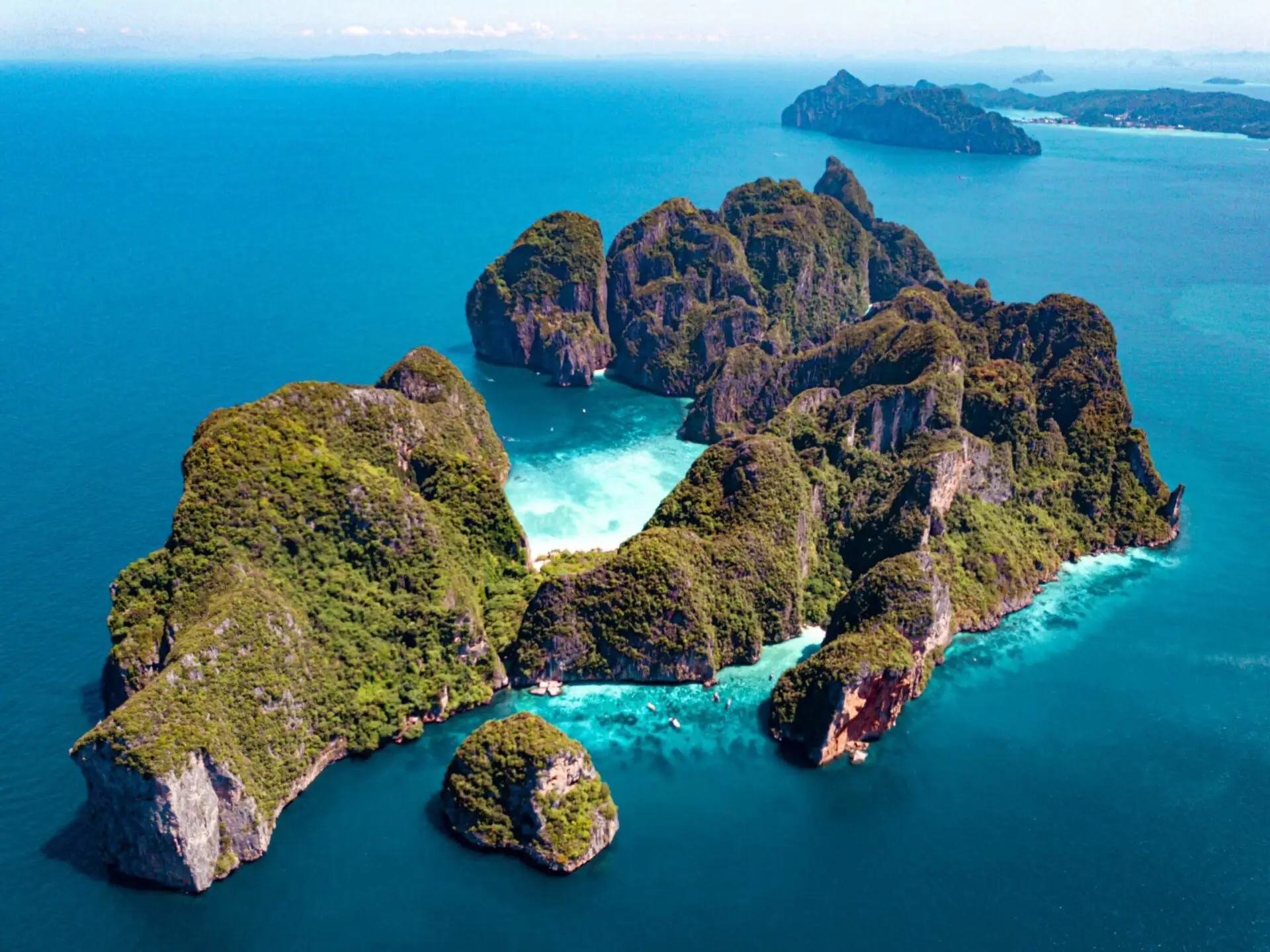
A Phi Phi snorkeling map divides the archipelago into three zones: the sheltered eastern bays of Phi Phi Don where depths reach 3-8 meters, the limestone-enclosed sites around Phi Phi Leh including Maya Bay and Pileh Lagoon, and the offshore pinnacles like Shark Point where depths exceed 15 meters. Most guided itineraries visit four to six sites within a single morning, clustered by proximity to minimize boat travel between reefs.
The national park boundary encloses all major snorkel sites, a regulatory perimeter that dictates mooring zones and visitor flow patterns. Park rangers monitor fifteen designated snorkel areas, each marked by conservation buoys that double as navigation aids when surface currents reduce visibility. Underwater topography determines site accessibility. The western coastline of Phi Phi Don drops steeply, creating wall dives unsuitable for casual snorkelers. Eastern sites like Tonsai Bay and Loh Dalum feature gradual slopes where reef flats begin two meters below the surface. Phi Phi Leh's enclosed lagoons offer zero-current conditions but restrict entry by longtail boat only, a constraint that shapes daily route planning. Bamboo Island, the northernmost mapped site, lies 45 minutes by speedboat from Tonsai Pier and requires calm-sea conditions—the channel crossing eliminates it from rainy-season itineraries. Boat operators cluster departures between 08:00 and 10:00 to secure mooring positions at high-demand sites before midday congestion peaks. A typical route follows the current: Maya Bay at first light when fish activity peaks, Pileh Lagoon by mid-morning when sunlight penetrates the cliff walls, then Shark Point on the return leg. Each stop lasts 30-45 minutes, enough time to cover the marked reef perimeter without extending into the next scheduled group's window. Reef conditions vary by exposure. Sites facing the Andaman Sea experience seasonal plankton blooms that reduce visibility but concentrate manta rays and whale sharks during migration months. Sheltered eastern reefs maintain year-round clarity but support smaller fish populations. Depth charts published by the park authority mark thermocline layers where temperature drops signal deeper water—useful for gauging distance from shore when landmarks disappear. Current patterns shift with the lunar cycle, strongest during new and full moons when tidal exchange accelerates through narrow channels between islands. Conservation zones prohibit fin contact with coral, a rule enforced through buoy placement that creates swimming corridors above fragile staghorn colonies. The 400 THB park fee funds these markers and the seasonal reef assessments that update official snorkel charts, ensuring navigation data reflects storm damage and coral recovery zones.
“Park rangers monitor fifteen designated snorkel areas, each marked by conservation buoys that double as navigation aids when surface currents reduce visibility.”
Top Locations on Your Phi Phi Snorkeling Map
Navigating the Phi Phi Islands requires understanding the layout of these key snorkeling zones located around the main archipelago. These spots offer distinct marine environments ranging from limestone-enclosed lagoons to outer reefs.
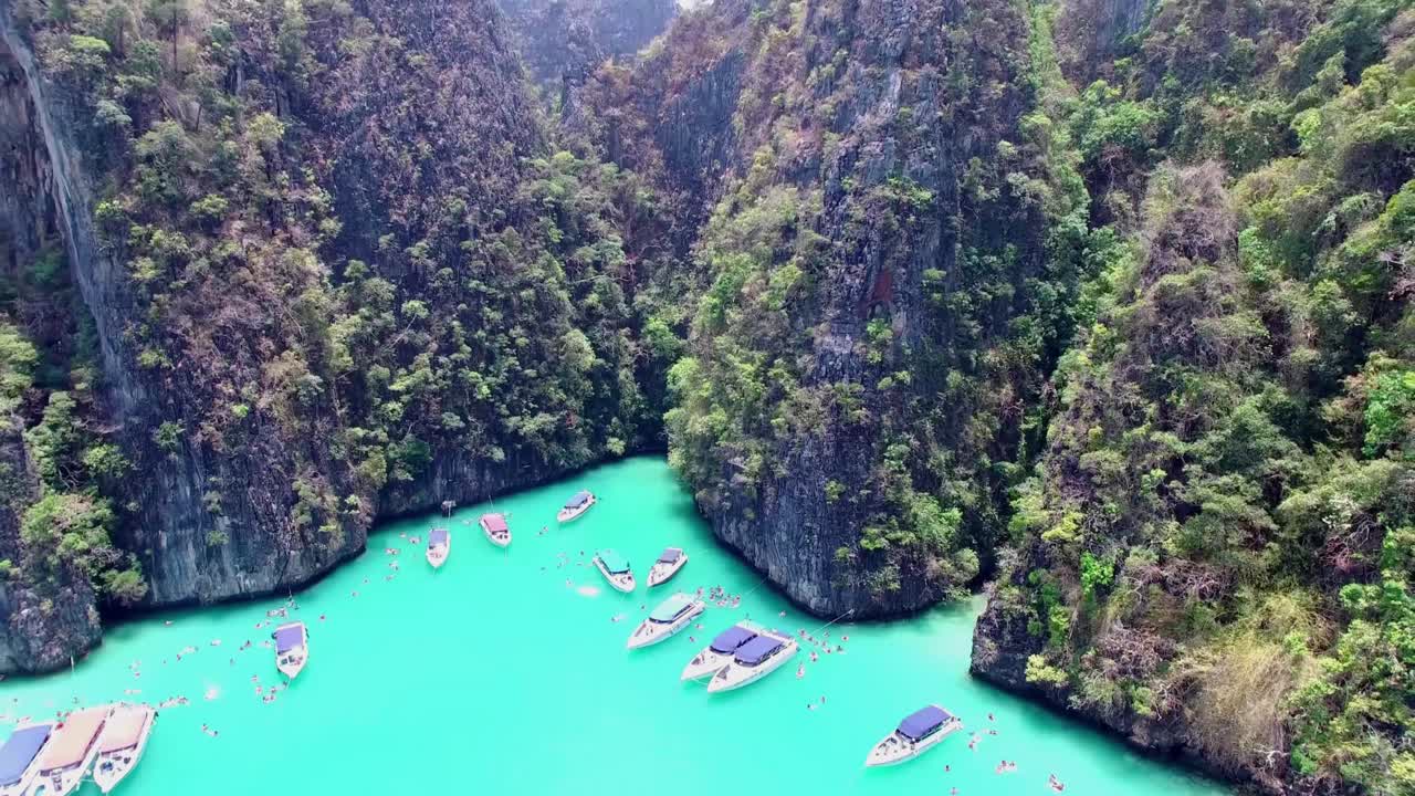
Pileh Lagoon
A shallow, turquoise lagoon surrounded by high limestone cliffs on the southern end of Phi Phi Leh.
Swim toward the narrow entrance to find calmer, deeper water.
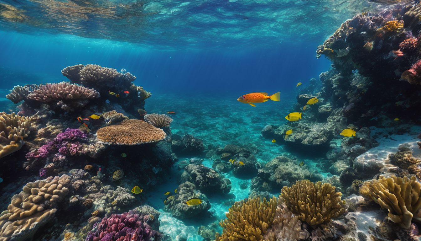
Maya Bay
A sheltered cove famous for its white sand and protected marine life.
Avoid the roped-off swimming zones to focus on the reef edges.
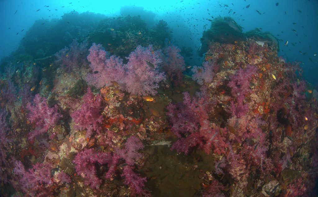
Shark Point
A submerged pinnacle located between Phi Phi and Phuket, known for leopard sharks and soft corals.
Observe from a distance to allow marine life to remain undisturbed.
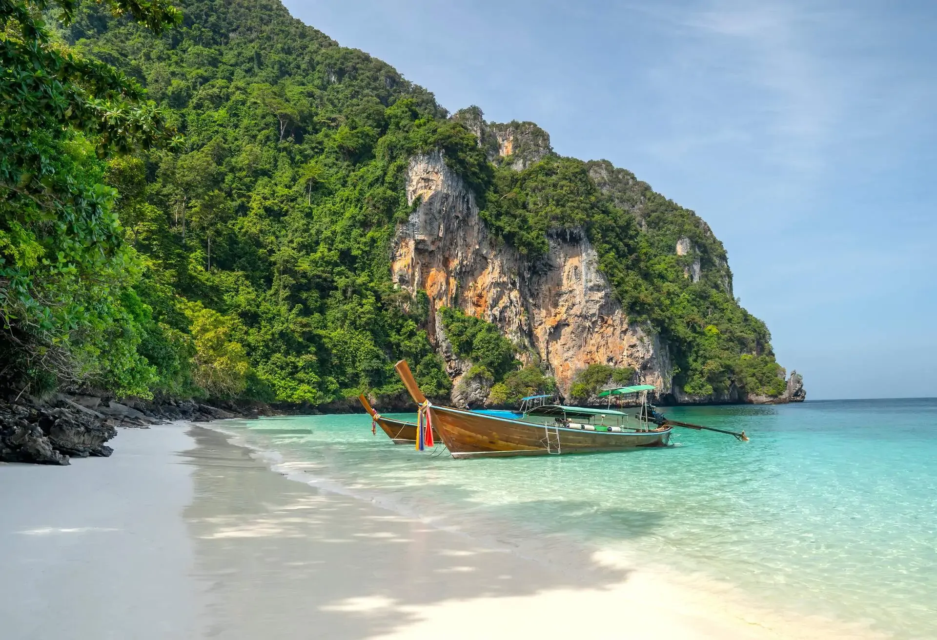
Monkey Bay
A small bay on the west side of Phi Phi Don where macaques are often seen on the beach.
Keep snorkel gear secure to prevent local monkeys from reaching items.
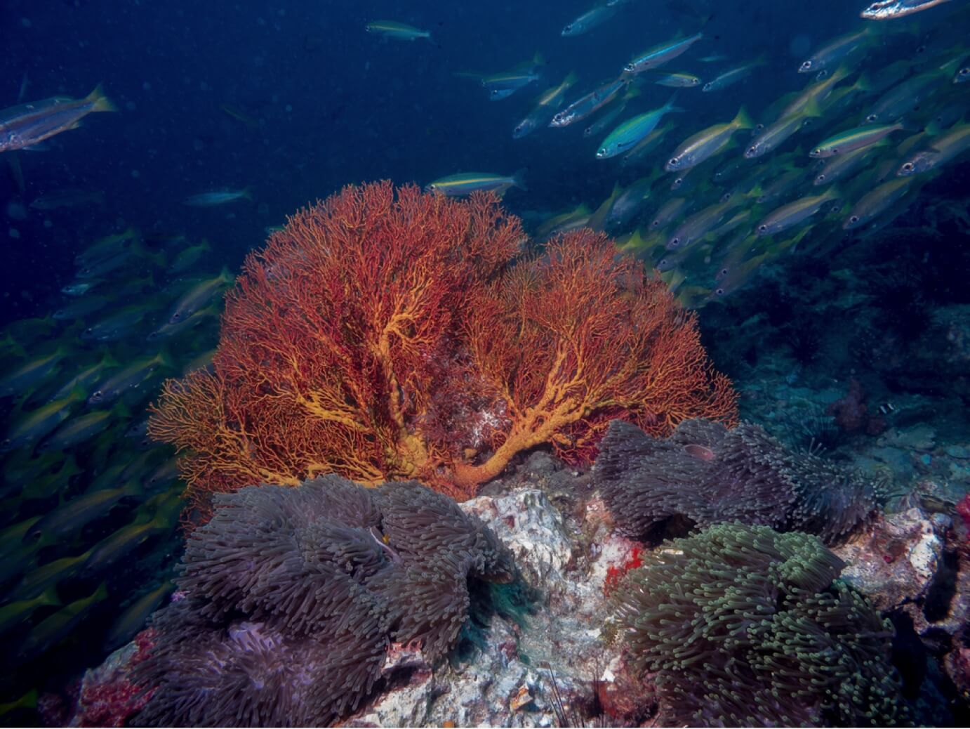
Hin Klang
A large, open-water coral reef located east of Phi Phi Don that stays submerged during high tide.
Use fins to manage currents in this open reef environment.
Operating Hours for the Phi Phi Snorkeling Map Areas
The National Park areas featured on the Phi Phi snorkeling map are open to visitors daily throughout the week.
| Monday | 08:00–16:30 | |
|---|---|---|
| Tuesday | 08:00–16:30 | |
| Wednesday | 08:00–16:30 | |
| Thursday | 08:00–16:30 | |
| Friday | 08:00–16:30 | |
| Saturday | 08:00–16:30 | |
| Sunday | 08:00–16:30 |
Conservation Fees Included in Your Phi Phi Snorkeling Map Visit
Access to the snorkeling areas within the Hat Noppharat Thara-Mu Ko Phi Phi National Park requires a mandatory conservation fee. This payment is necessary for all visitors to support the maintenance and protection of the marine environment.
A typical foreign adult pays 400 THB, which serves as a mandatory daily conservation fee for entry into the national park area.
Pre-Visit Checklist for Your Phi Phi Snorkeling Map Journey
Pack the right gear and confirm your arrangements before heading out to maximize your snorkeling time around Phi Phi.
-
Bring mask, snorkel, and fins — Your own well-fitting equipment ensures comfort and prevents leaks during extended water time.
-
Pack reef-safe sunscreen (mineral-based) — Chemical sunscreens damage coral; mineral formulas with zinc oxide or titanium dioxide protect both you and the reefs.
-
Carry waterproof bag for valuables — Phones, cash, and documents need protection from saltwater and sand during boat transfers.
-
Wear rashguard or wetsuit top — Provides sun protection and prevents jellyfish stings in open water areas.
-
Confirm boat departure time and pier — Tour operators use different piers on Phi Phi Don; verify your exact pickup location the evening before.
-
Bring 400 THB cash for park fee — The conservation fee is collected at park checkpoints and must be paid in cash per person.
Check availability
Frequently asked questions about phi phi snorkeling map
Everything you need to know about phi phi snorkeling map